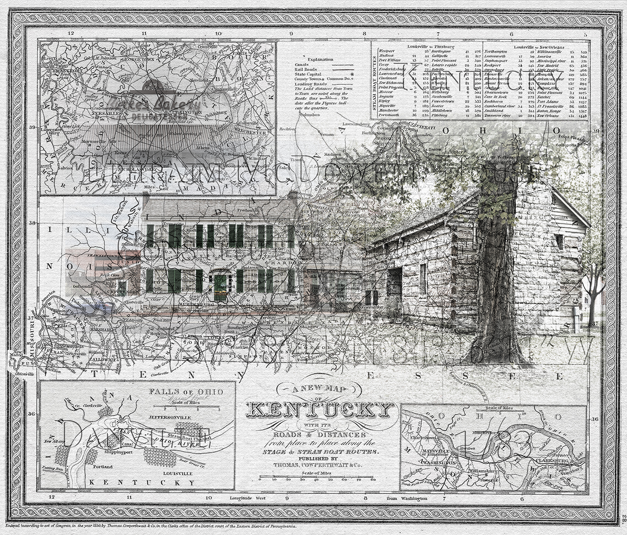
A map of Kentucky from 1850 is collaged with photos from Danville, KY. Photos of Historic Constitution Square and the Ephram McDowell house as well as the local icon, Burke’s Bakery.

Travel Map of Danville, KY

Travel Map of Danville, KY
A map of Kentucky from 1850 is collaged with photos from Danville, KY. Photos of Historic Constitution Square and the Ephram McDowell house as well as the local icon, Burke’s Bakery.
